Welcome to the DAS-GAE Guide

credit: ESRI inc.
Using these secure, cloud-based services, you can:
- Access Azure Windows Virtual Machines, which offer highly-powerful and scalable geospatial processing and analysis (above and beyond AVD).
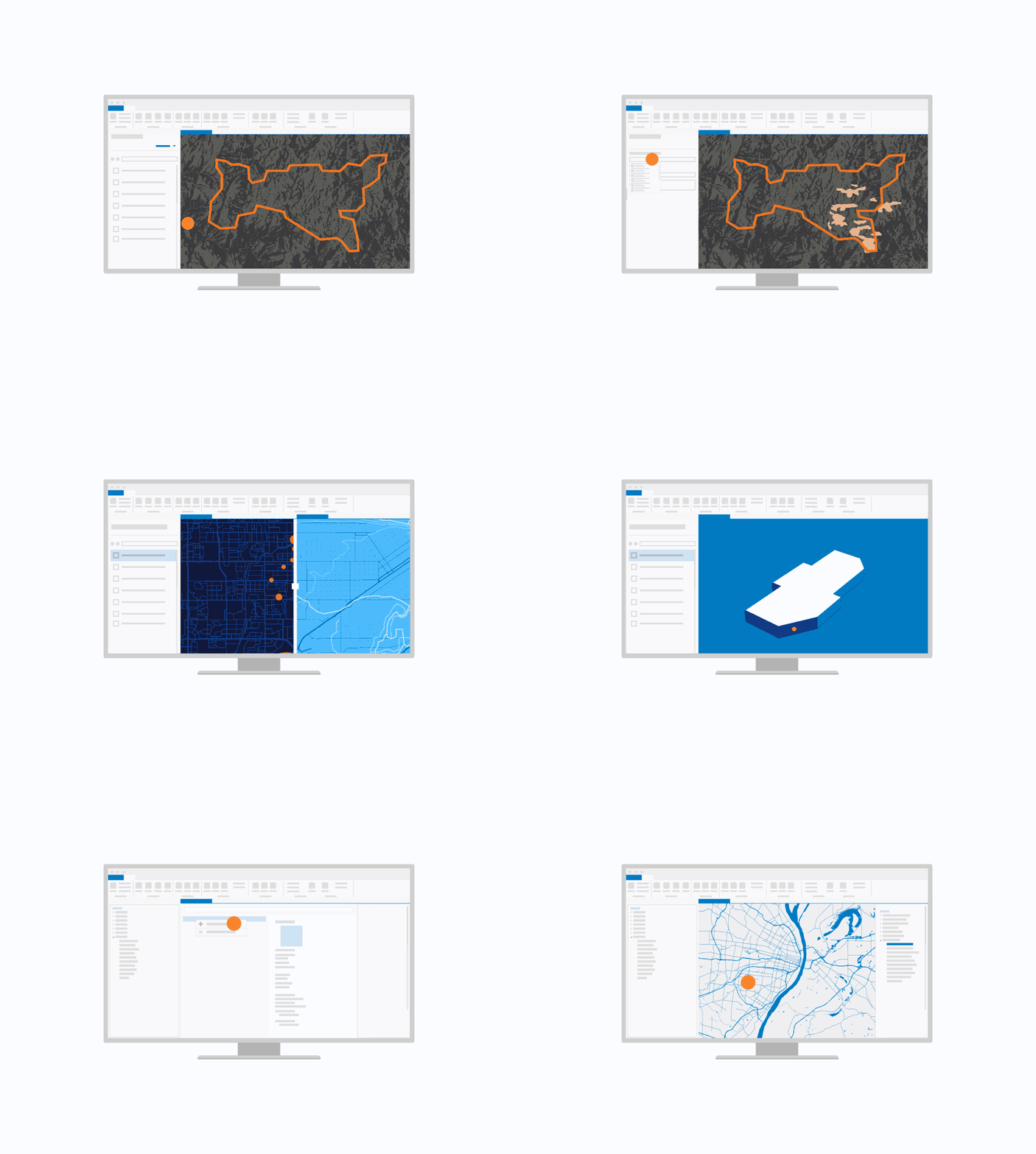
- Perform basic and advanced analysis, modeling, and create workflows using tools like ArcGIS Pro, QGIS, and/or ESRI Insights.
- Utilize collaborative storage to easily access geospatial data from various repositories.
- Gain valuable location-based insights by integrating trusted statistics from Statistics Canada with geospatial data.
- Use ESRI Enterprise Collaborative geospatial analytics and visualization platform to:
- Create interactive geospatial visuals, stories, and dashboards.
- Share geospatial datasets, models, analysis, and web mapping applications.
- Allow for cross-platform and cross-project collaboration.
Learn More: Data Analytics Services; Powered by Statistics Canada